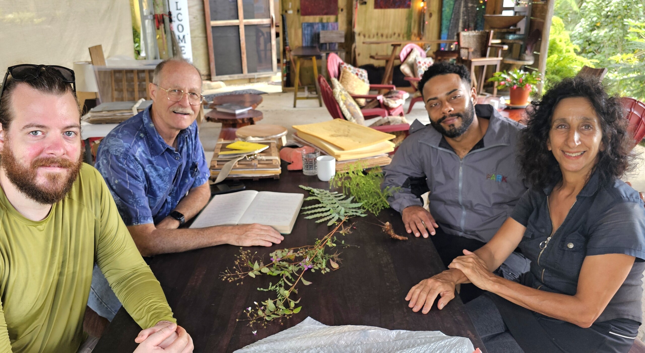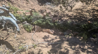
Over the course of 5 weekends we gathered together and learned how to use native pinon juniper bushes to slow spread and sink the water.
In Spring 2025, Synergia Ranch hosted a 4 part workshop series open to the public to educate and provide hands on experience to anyone interested in designing and building erosion control structures as well as improving ground cover. The workshops were led by Starrlight Augustine and Jan-Willem Jansens, with over XX volunteers contributing to restoration work at Synergia and taking home new knowledge around low tech methods which can have big impact on the landscape.
Site Assessment and Project Goals for the Erosion Control
As part of the first workshop in the series, Jan-Willem Jansens led a site walk of the southern portion of Synergia Ranch with Starrlight and the volunteers to orient them to the land and the current conditions. The key takeaways from the site assessment were:
-
Soil erosion was pervasive across the land, leaving varying degrees of gravel and barren soil exposed to the sun and wind. Some locations had less than 10-20% ground cover of grasses, forbs and trees
-
Erosive forces had created incised channels and gullies where runoff would collect and move downstream.
The group carried out a planning and design session, walking the land again and flagging areas for improvements. The overarching goals were:
-
Slow the flow of water and spread it out to reduce its capacity to carry sediment further downhill and enable greater water infiltration
-
Collect sediment in bed of the channels to raise the grade and widen the floodplain
-
Establish greater ground cover, with both living plants as well as plant debris that would be harvested locally to help water infiltrate the soil and remain in the ground longer
Over the course of the 4 workshops, XX structures were built or repaired and XX areas were seeded with native seed mixes and covered with local slash. Read more about the process below.
Overview of areas & structures
photo here
During the site assessment 12 areas were identified as areas of interest for restoration work, with a focus on
-
Water collection areas
-
Incised channelized flow zones and gullies
-
Deposition zones
Throughout the workshop series, several approaches were implemented to mitigate erosion and improve ground cover:
-
7 wicker weirs were constructed
-
3 locations were seeded and covered with lop and scatter methods
-
Roughly 15 legacy rock and rubble dams were repaired
-
1 Zuni bowl was constructed
-
Brush mattresses were laid in many locations
Building Wicker Weirs
Wicker weirs are small dams across an entrenched creek or (small/midsized) gully made from juniper pickets and limber branches. Wicker weirs slow and spread flows and retain sediment. As a result, they will hold or raise the grade (bottom level) of a drainage.
Volunteers constructed 7 wicker weirs in 5 of the restoration areas where the incised channel needed to be raised. Juniper branches were harvested from trees surrounding the channels and broken down into pickets or posts to drive vertically into the channels bed, as well as long pliable limbs used to create the permeable weave to slow the water and trap sediment. Rocks were gathered from the immediate area as well to place at the base of the weir to prevent undercutting.